The Yarlung Tsangpo is Tibet’s most important river. We take a whirlwind trip down its course…
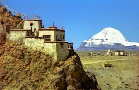
A raindrop (or, more likely, a snowflake) falling near Mount Kailash in could have one of three fates. If it lands to the north or west of Tibet’s holiest mountain, it will trickle into the Indus, flow across Ladakh, down the length of Pakistan and into the Arabian Sea. Fall to the south of the mountain and it will promptly cascade out of Tibet into Nepal, and – joining the Ganges – run across northern India, draining through Bangladesh into the Bay of Bengal. Finally, if it lands east of Kailash, our raindrop will join the Yarlung Tsangpo.
|
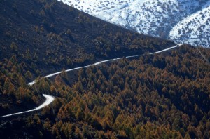
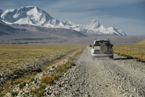
Tibet’s most important river, the Yarlung Tsangpo flows east across Tibet for two thousand kilometres before it finds a way through the Himalayas and pours into India, where it is known as the Brahmaputra, “Son of Brahma”. A journey along the Yarlung Tsangpo is a journey through Tibet’s most dramatic landscapes as well as through Tibetan history. The young river meanders out of Tibet’s far west through sand dunes in a beautiful and rugged land. Although few live here now, this was once part of the Zhang Zhung kingdom, a pre-Buddhist civilisation that has left a handful of enigmatic ruins and soot-blackened caves near Mount Kailash.
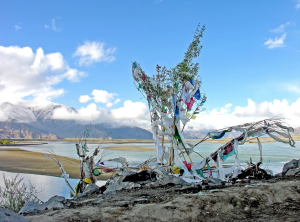
In flowing through more populated regions, our river performs a new purpose. The rocky riverbanks are marked with white ladder-like symbols, showing that a water burial has been held recently. Although Tibetan sky burials are well-known, poorer people more often wrap their dead in cloth and slide the bodies into the river – one important reason why Tibetans do not eat fish.
|
Explore Tibet with our journeys… Lands of Silk & Snow: From Luang Prabang to Lhasa ALL NEW, UNIQUE journey from subtropical Laos to the Himalayas Where do we go? Day 1: Arrive in Laos We also offer shorter version of this journey – 10 & 13 Days What you will discover ⦁ Drive from the charming
Luang Prabang to Lhasa in
Tibet… ⦁ Highlights include: Luang
Prabang, Xishuangbanna, Meili Snow Mountain, Ranwu Lake (然烏湖), Lhasa and much more in between
Journey Dossier – – – – – – – – – – – – – – – – – – – Roads on the Roof of the World From Lhasa to Mt. Everest Base Camp Where do we go? Day 1: Arrive in Kunming What you will discover ⦁ Lhasa, the capital of Tibet
with the Potala Place and the
holiest Tibetan temple, the Jokhang temple ⦁ Visit the old towns of Gyante and Shigatse
⦁ Drive along lake Yamdrok and Lake Namtso, the two holiest in Tibet
⦁ Enjoy an unforgettable view
over the Himalayas and drive
right to the Mt. Everest Basecamp Journey Dossier Stories on Tibet A Glimpse of Everest |
*Botanist Frank Kingdon Ward had this to say about a trip here in the 1920s:
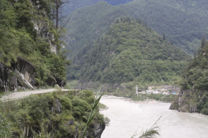
Not only is Pemako extraordinarily difficult to reach from any direction, it is still more difficult to penetrate and explore when reached. Surrounded on three sides by the gorges of the Tsangpo, the fourth is blocked by mighty ranges of snow mountains, whose passes are only open for a few months in the year. Beyond these immediate barriers to east, west and south are trackless forests inhabited by wild unfriendly tribes… Add to this… a climate which varies from the subtropical to the arctic, the only thing common to the whole region being perpetual rain, snakes and wild animals, giant stinging nettles and myriads of biting and blood sucking ticks, hornets, flies and leeches…
The Riddle of the Tsangpo Gorges, Kingdon Ward, 1926


